Remotely Piloted Aircraft Systems
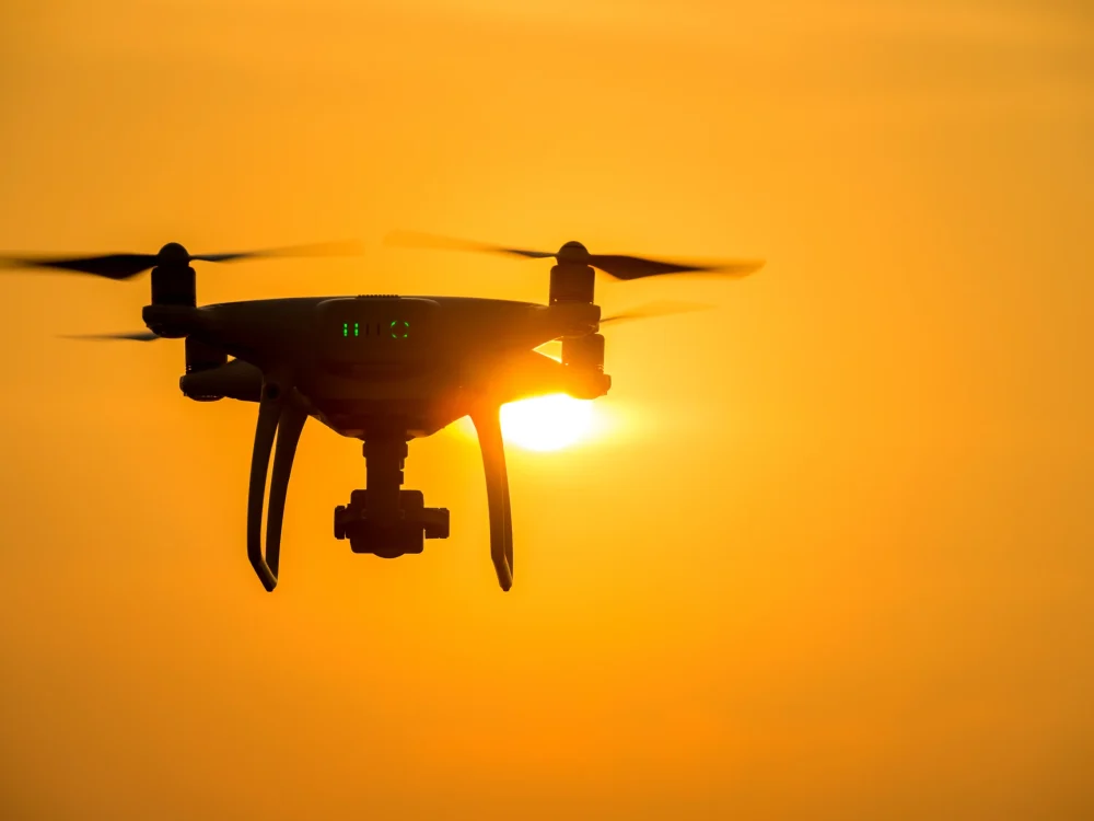
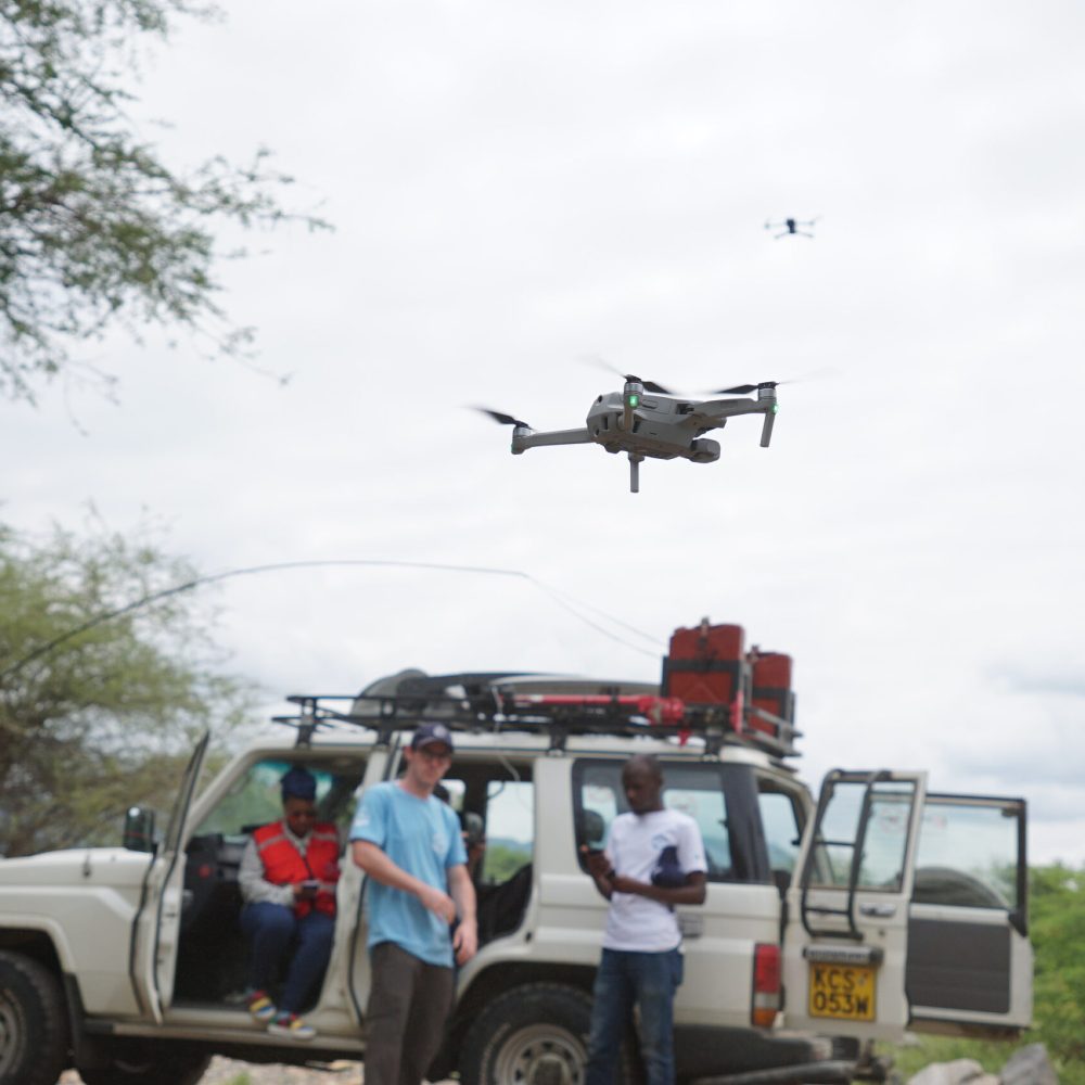
The Remotely Piloted Aircraft Systems unit was setup in 2019 by the Kenya Red Cross Society. The unit aims to amplify humanitarian aid efforts by leveraging the use of drones in disaster response and disaster preparedness. Recently, the unit has diversified its portfolio to encompass research support for evidence based programming and last mile delivery.
Field Work
Kenya Red Cross gathers multispectral drone data to help manage the worst locust invasion
Kenya Red Cross Gathers Multispectral Drone Data To Help Manage The Worst Locust Invasion In 70 Years
Show More Kenya Red Cross helps manage refugee settlements with drone data
Kenya Red Cross Helps Manage Refugee Settlements With Drone Data
Show More Training on use of UAVS and remote sensing for Crop monitoring in Eswatini
Training On Use Of UAVS And Remote Sensing For Crop Monitoring In Eswatini
Show More 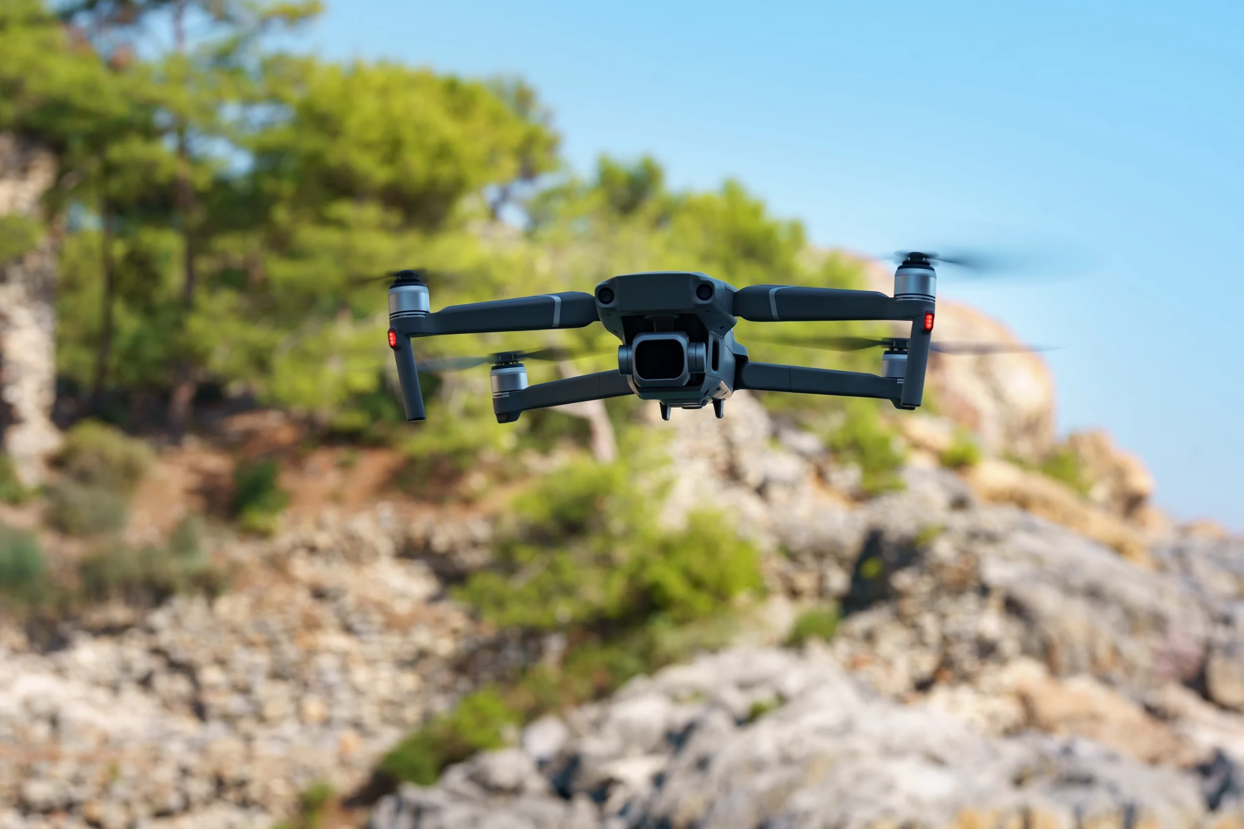
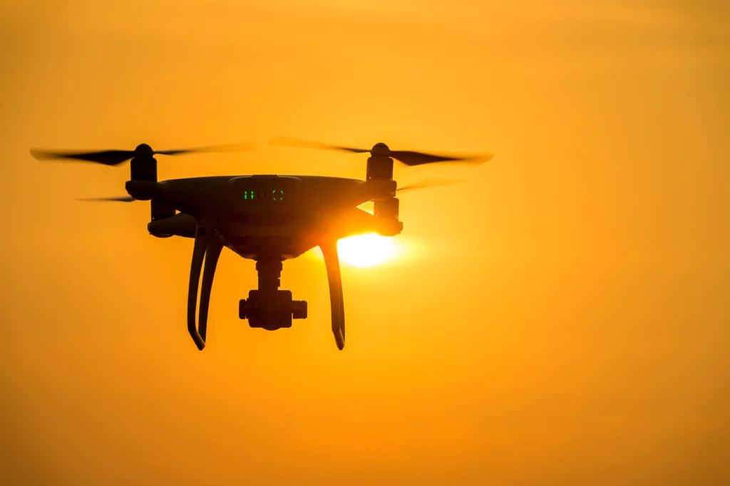
Our Drones
- DJI Mavic 2 Pro
- DJI Enterprise 2
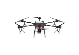
- DJI Agras T-16
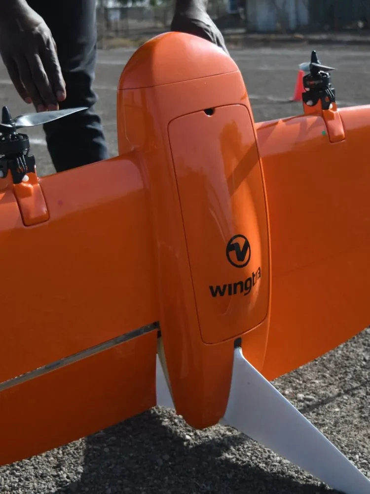
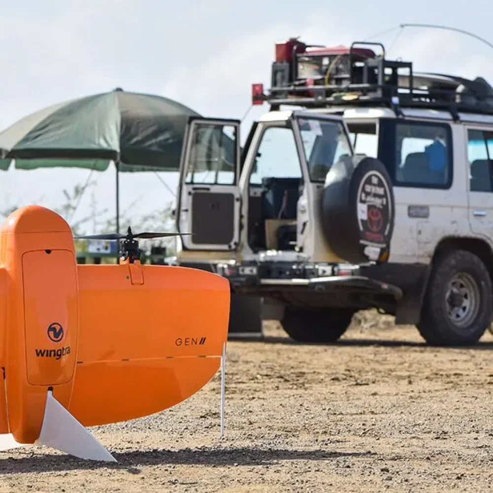
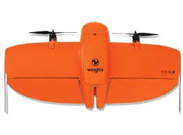
- Wingtraone Gen II
Key Achievements
- 1 year special license from the Civil Aviation Authority (KCAA)
- MoU signed with a training partner (Altohelix) and project management partner (DAC Aviation)
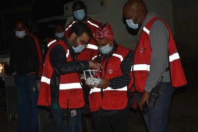
- 15 individuals trained (Pool of staff & volunteer pilots)
- Development of SoPs – mission checklists, plans and reports, inventory checklists
- Purchase of 3 drones
- DJI Mavic 2 Pro
- DJI Mavic 2 Enterprise
- Wingtra One – Fixed Wing VTOL
- Testing of use cases:
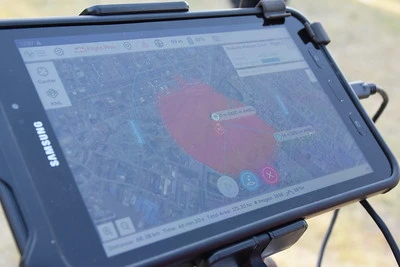
- Mapping of Dadaab IFO 2 camp
- Search and Rescue in Moyale (floods response)
- One year extension for the special license from KCAA
- Training for WingtraOne (mapping drone) – 10 pax
- Test flights (Flooding in Shompole -Kajiado)
- Desert Locust Assessment (Contracted by FAO)
- Pitched the use of drones to support in the analysis of the control measures and impact of Desert Locusts
- Search and Rescue – West Pokot County landslide
- COVID-19 funding from Mastercard Foundation
- Loud speaker on Mavic 2 Enterprise (3 counties)
- Mapping of Covid-19 hotspots (2 counties)
- Acquiring the DJI Agras T-16 spraying drone and piloted disinfection (3 counties)
- Contracted by the ICRC – mapping and documenting of new office construction progress
- 2 year extension of special license from KCAA
- Contracted by Regional Center for Mapping (RCMR) to support the Kingdom of Eswatini in RPAS Capacities
- Wingtra One
- ICRC Contract for mapping and documenting office construction progress
- ICRC Drone + Agriculture workshop – demo’d both Wingtra and Agras
- ROC application process ongoing
- Virtual UAV training for Eswatini consultancy – Trained 22 participants
- ICRC project completion for construction site mapping
- Judges for 1st ever Kenya Drone competition -Nairobi
- Part of a larger team that conducted first ever flood Simulation exercise in Busia County
- Part of the first ever project pilot for last mile delivery in Koza in partnership with Drone Space Kenya – May-Apr 2022 -Nairobi
- Mapped out the Refugee camps in Turkana County with HOT & UNHCR – 80km2 for infrastructure
- Had a team on standby for surveillance & mapping during the Shakahola Massacre –Kilifi County

Our Future
- Virtual UAV training for Eswatini consultancy – Trained 22 participants
- ICRC project completion for construction site mapping
- Judges for 1st ever Kenya Drone competition -Nairobi
- Part of a larger team that conducted first ever flood Simulation exercise in Busia County
- Part of the first ever project pilot for last mile delivery in Koza in partnership with Drone Space Kenya – May-Apr 2022 -Nairobi
- Mapped out the Refugee camps in Turkana County with HOT & UNHCR – 80km2 for infrastructure
- Had a team on standby for surveillance & mapping during the Shakahola Massacre –Kilifi County


