Data
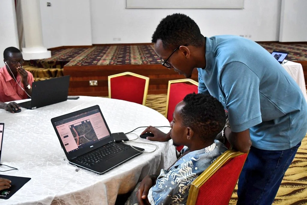
The Data unit generates accurate risk data to support short and long-term disaster risk reduction planning and implementation. The unit aims to use innovative technologies such as drone and satellite imagery, crowdsourcing information through mapping platforms and social media to generate risk data and risk assessments.
The goal of the unit is to generate industry standard data & digital solutions to enhance capacities to respond effectively to crisis, provide feedback and document learning for future scenarios through these streams:
- Artificial Intelligence
- Research & Data Analytics
- Data Literacy & Support Service
- Big Data Use
- Data Visualization & Storytelling
- Spatial Data


Key Achievements
- Disaster Risk Mapping
- Community led COVID-19 Risk mapping in Mukuru kwa Njenga
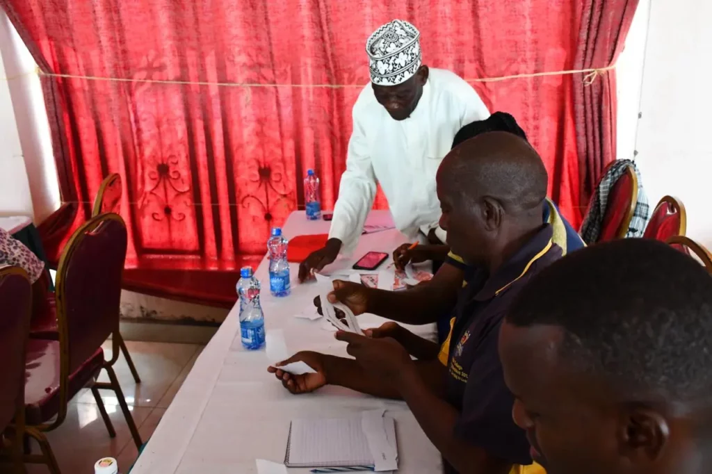
- Community capacity building on disaster resilience through map athons, workshops and webinars
- Adopting remote sensing technology for conducting vulnerability
- Assessments

